Track B · Mapping flood damage from space
Satellite Intelligence
Bhote Koshi–Trishuli corridor, Nepal · Flood date: 2026-08-26 · Illustrative network
DEMO DATA
The brief’s before/after radar examples are illustrative, not real Sentinel observations. No raw satellite pair, acquisition metadata, or AI change detection is connected.
Before / after · illustrative radar comparison
NOT SATELLITE ANALYSIS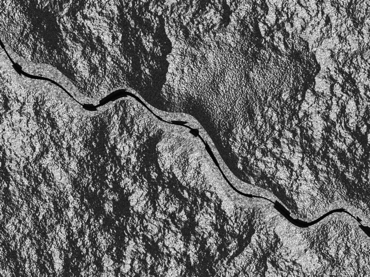
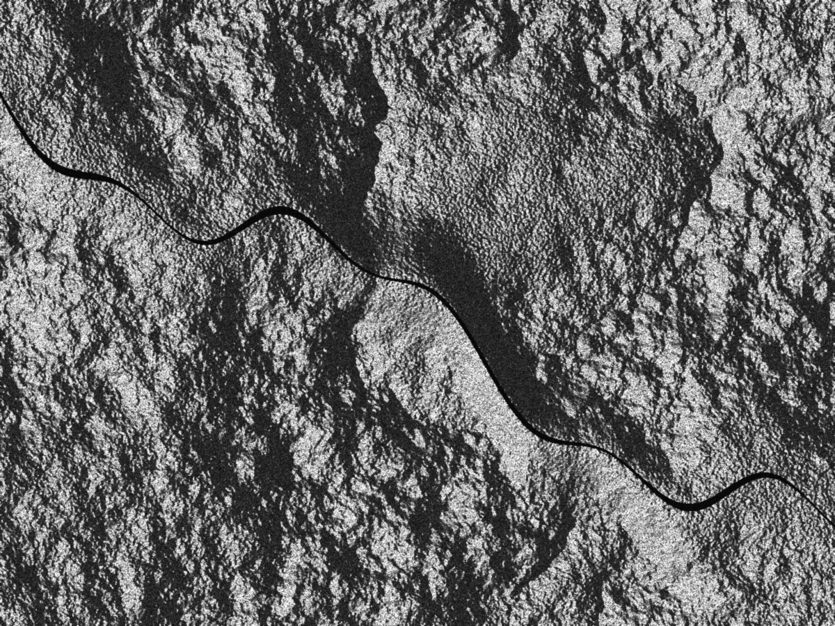
Sentinel-1: compare same orbit track and direction, typically 12 days apart. Sentinel-2: use clear, cloud-masked scenes. These PDF examples have no acquisition dates, orbit or georeferencing.