Command centre Home
Demo workspaceSign in
Track B · Mapping flood damage from space

Situation overview

Bhote Koshi–Trishuli corridor, Nepal · Flood date: 2026-08-26 · Illustrative network
DEMO DATA
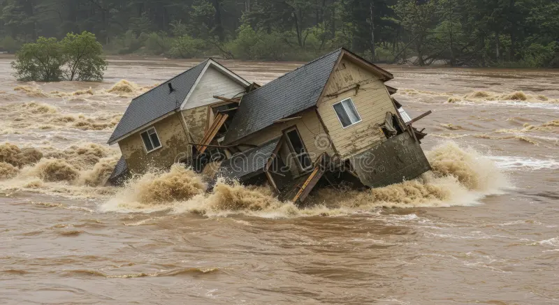
House surrounded by fast-moving floodwater, user-provided reference photograph
FLOOD RESPONSE · PROTOTYPE

See the damage.
Find the isolated.
Guide the rescue.

Connect flood observations with community access. Put the right evidence behind every decision.

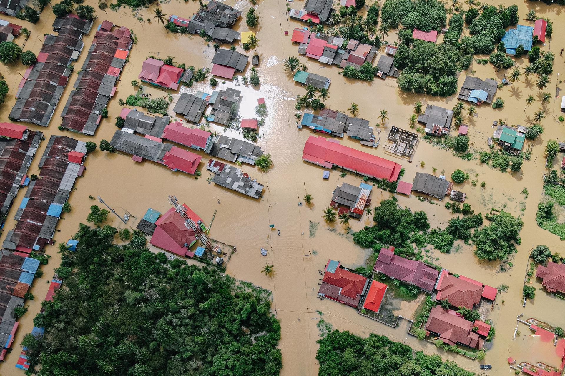
Aerial reference photograph of flooded homes and roads
Ground & aerial evidence

A wider view of the impact

Flooded settlements & road connections

User-provided photographView evidence

Where did the flood hit?

Illustrative floodwater and debris layers. Real extent has not been measured.

Inspect results

What was damaged?

6 sample building footprints exposed; 2 selected road/bridge closures. Not observed damage.

Inspect results

Who is cut off?

1 settlements have no hospital or town path in the model; 1240 sample residents.

Inspect results
Potentially affected people
5540
Illustrative population · 5 settlements
Cut-off settlements
1
No hospital or town path in sample model
Infrastructure connections
8
Roads & bridges in sample network
Evidence completeness
Limited
Reference photos · no live analysis

Flood impact & connectivity

Illustrative network · not verified road conditions
Open map
Loading map…
● Assessment required━ Sample road network▧ Simulated flood extent

Priority assessment queue

Evidence-led, not a safety determination
1 CUT OFF IN MODEL

01Riverside

Cut off in model

River Bridge condition unverified. Usual hospital connection may be affected.

Illustrative observation · time unknown

02Hilltop

Verify access

Alternative access needs inspection. Recent road evidence is incomplete.

Illustrative observation · time unknown

03Green Valley

Verify access

Possible road submersion in the illustrative scenario.

Illustrative observation · time unknown
01Observe02Detect03Connect04Identify05Verify06Simulate07Prioritise08Report