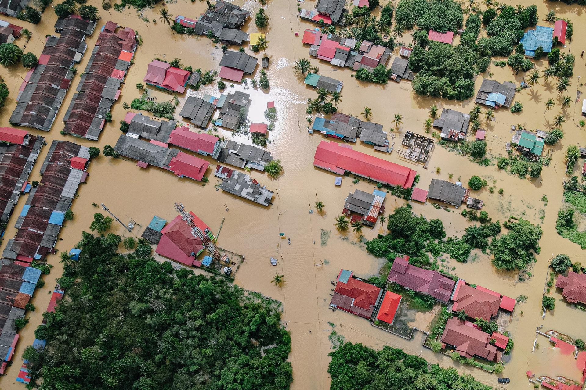
Aerial flood reference
Source: user upload · observation time unknown · location unconfirmed
Incomplete evidenceBhote Koshi–Trishuli corridor, Nepal · Flood date: 2026-08-26 · Illustrative network
Source: user upload · observation time unknown · location unconfirmed
Incomplete evidence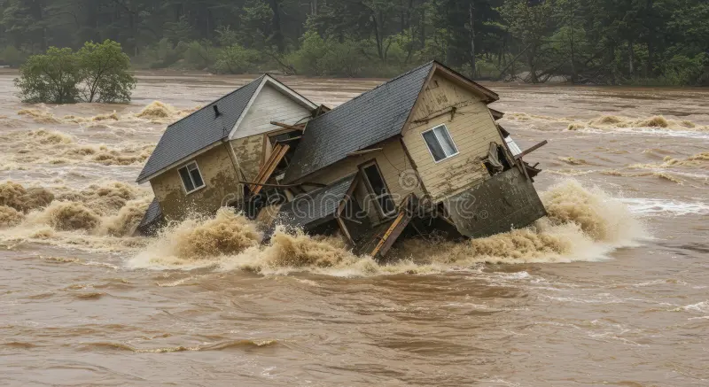
Source: user upload · includes a stock-photo watermark · rights require review
Unverified reference
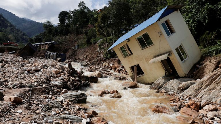
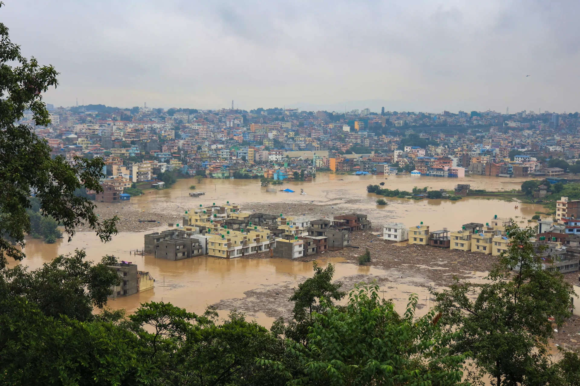
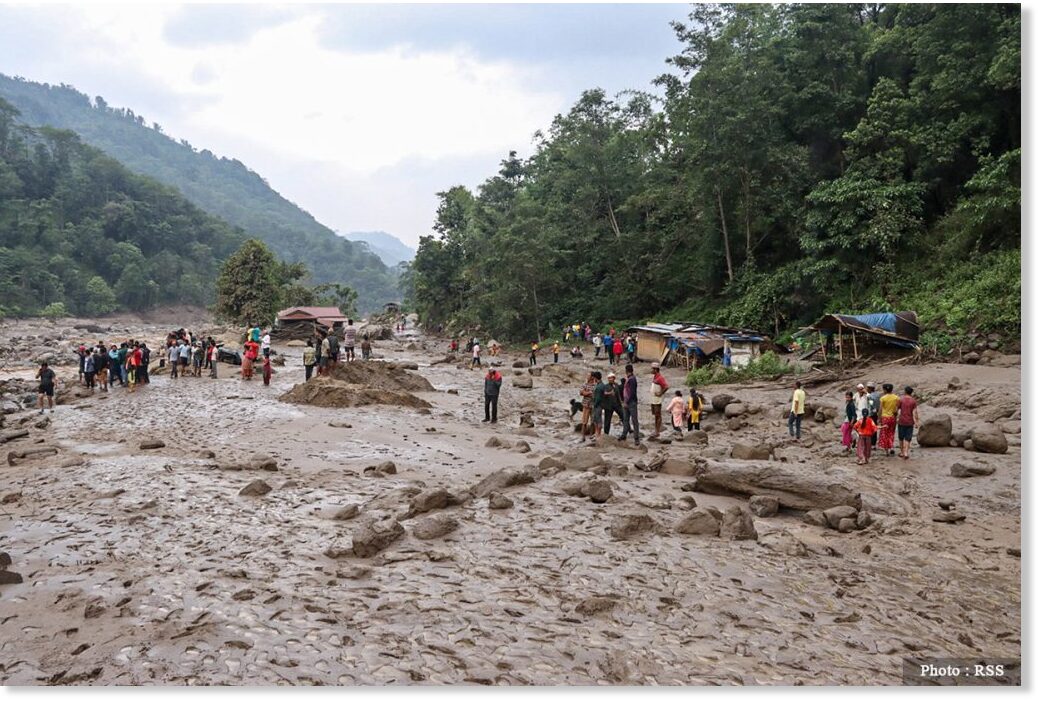
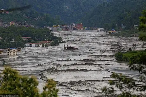
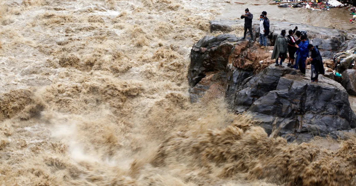
26 August 2026 Bhote Koshi–Trishuli flood, as described in the supplied brief. No official reference layer or independent prediction is loaded. Flood IoU, precision, recall, infrastructure accuracy and settlement-access accuracy: not evaluated. EMSR927 must remain checking-only, never an analysis input.
Awaiting raw-data results and reference mapsSample aerial observation: possible road submersion.
Sample field observation: small vehicles reported passable.
Recommended action: request a time-stamped bridge inspection and current photo.